Measuring the Power and Effects of Atmospheric River Storms through a Novel Scale
In 2017, a team of researchers from the Center for Western Weather and Water Extremes at the Scripps Institution of Oceanography, University of California San Diego, led by F. Martin Ralph, introduced a scale for characterizing atmospheric rivers. This scale, supported by California's Department of Water Resources' Atmospheric Rivers Research Program and the US Army Corps of Engineers/Engineer Research and Development Center's Atmospheric River/Forecast-Informed Reservoir Operations Program, aims to help predict and prepare for weather events caused by atmospheric rivers.
The scale ranks atmospheric rivers from 1 to 5, with categories "weak," "moderate," "strong," "extreme," and "exceptional." The new scale, described in the February 2019 Bulletin of the American Meteorological Society, assigns these categories based on the amount of water vapor an atmospheric river carries and its duration.
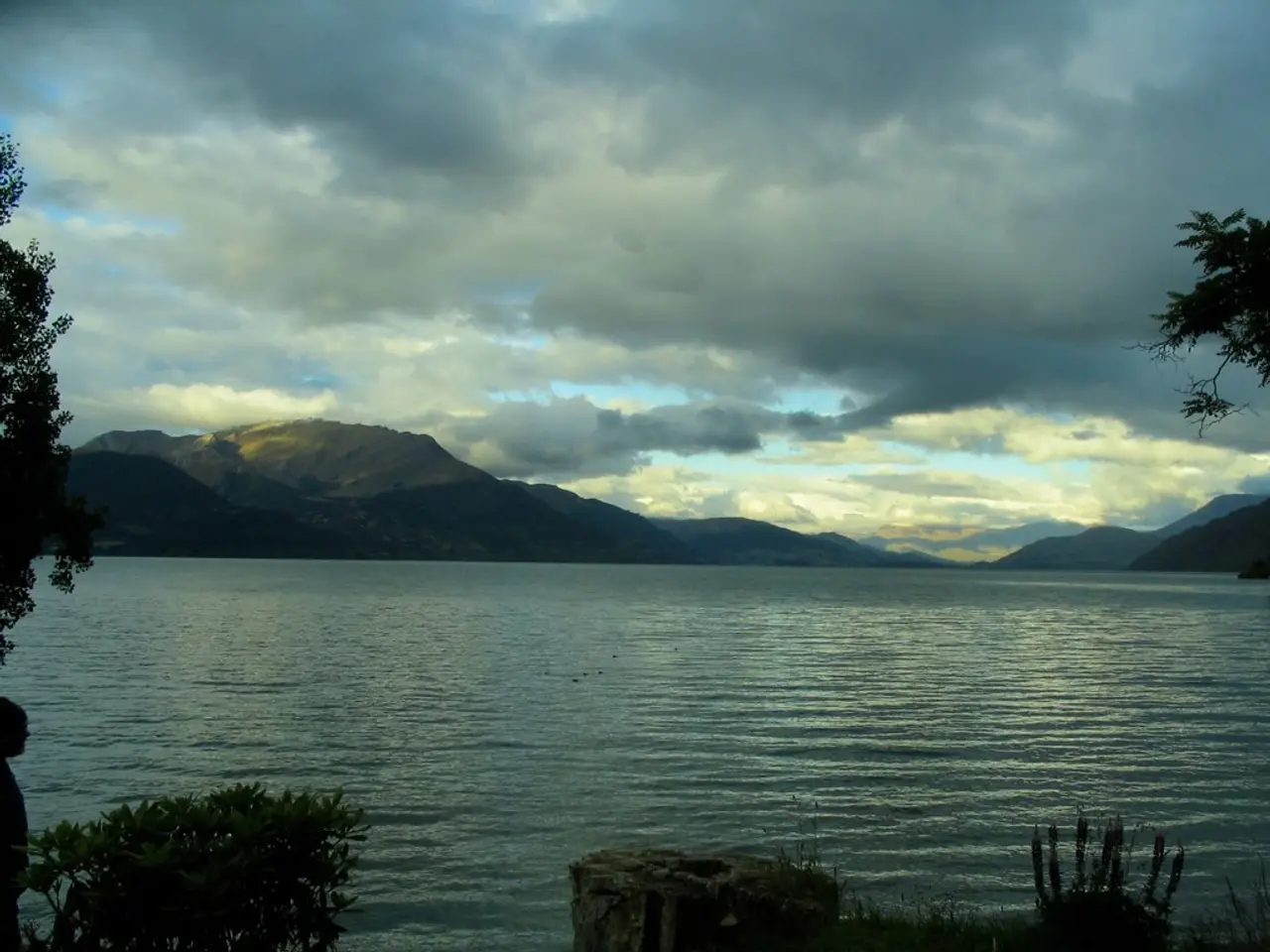
Atmospheric rivers are long, narrow bands of atmospheric water vapor pushed by strong winds. They are significant contributors to weather events in the Western United States, including heavy rain, floods, and levee breaches. Approximately 80% of levee breaches in California's Central Valley are associated with landfalling atmospheric rivers.
The scale developed by Ralph and his team takes into account the duration of an atmospheric river as a fundamental factor, unlike the hurricane scale. An atmospheric river that lasts in an area for less than 24 hours is demoted by one category, but if it lingers for more than 48 hours, it is promoted.
The new scale will add to data, seasonal outlooks, and precipitation forecasts provided by the Center for Western Water and Weather Extremes as a resource to water managers, weather forecasters, emergency officials, policy makers, and others. The study of atmospheric rivers is important for understanding and mitigating the impacts of climate change on the Western United States.
Atmospheric rivers are prevalent over the Pacific Ocean and deliver a significant portion of the Western United States' winter precipitation. They are responsible for most of the West Coast's heaviest rains and floods. The scale developed by Ralph and his colleagues aims to characterize the strength and impacts of atmospheric rivers, increasing situational awareness ahead of a major storm in a region of roughly 50 km size.
The University of California San Diego leads a team of researchers who have developed this scale to measure the strength and impacts of atmospheric rivers. The team collaborated with Jonathan Rutz from the National Weather Service and several other experts to create this valuable tool for weather prediction and disaster preparedness.
Read also:
- Understanding Hemorrhagic Gastroenteritis: Key Facts
- Stopping Osteoporosis Treatment: Timeline Considerations
- Tobacco industry's suggested changes on a legislative modification are disregarded by health journalists
- Expanded Community Health Involvement by CK Birla Hospitals, Jaipur, Maintained Through Consistent Outreach Programs Across Rajasthan


